 SNAP GeoNetwork
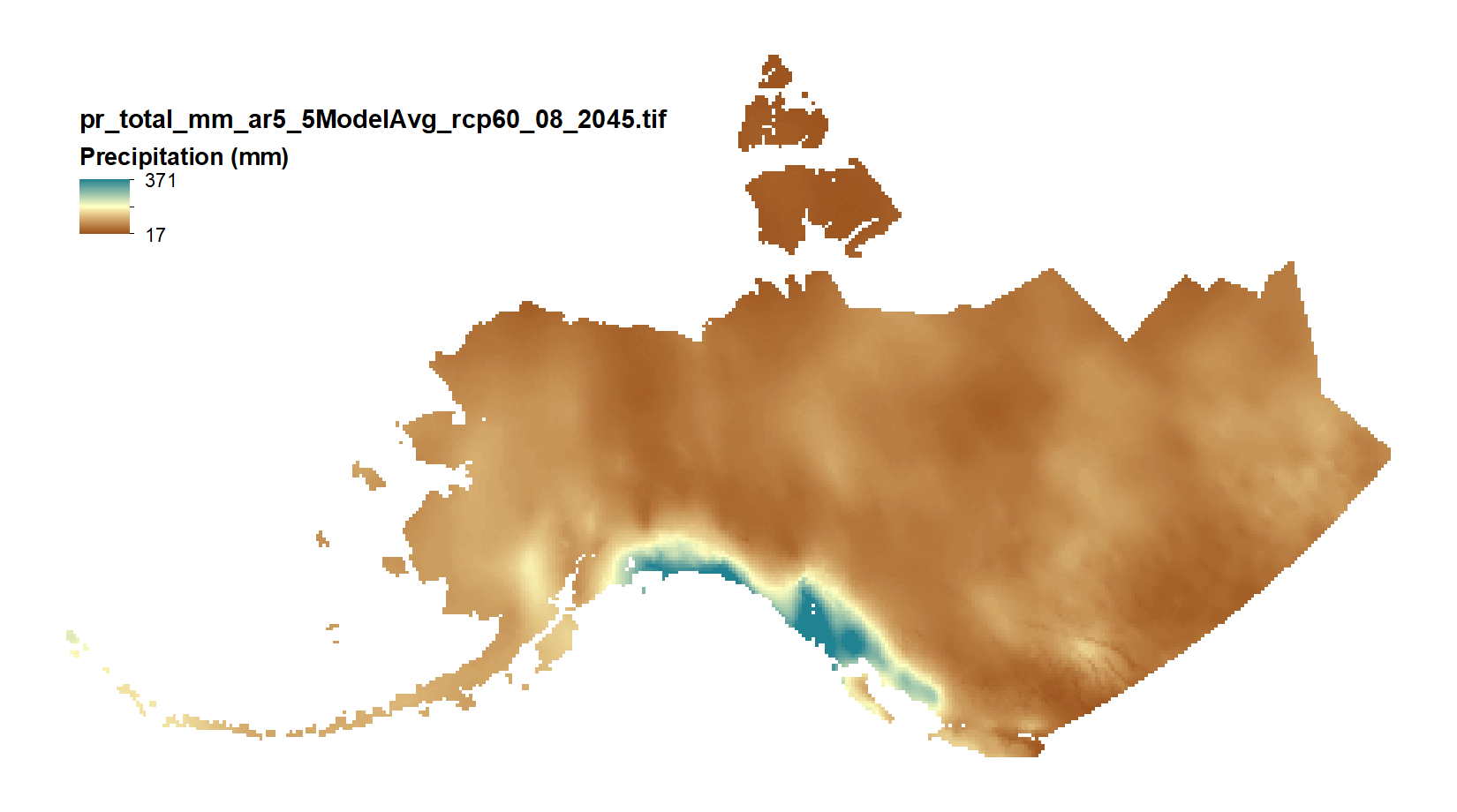
Projected Monthly and Derived Precipitation Products - 771m CMIP5/AR5
This set of files includes downscaled projections of monthly totals, and derived annual, seasonal, and decadal means of monthly total precipitation (in millimeters, no unit conversion necessary) from Jan 2006 - Dec 2100 at 771x771 meter spatial resolution.
Each set of files originates from one of five top ranked global circulation models from the CMIP5/AR5 models and RPCs, or is calculated as a 5 Model Average.
The downscaling process utilizes PRISM climatological datasets from 1971-2000.
Brief descriptions of the datasets:
Monthly precipitation totals: The total precipitation, in mm, for the month.
For Decadal outputs:
1. Decadal Average Total Monthly Precipitation: 10 year average of total monthly precipitation. Example: All January precipitation files for a decade are added together and divided by ten.
2. Decadal Average Seasonal Precipitation Totals: 10 year average of seasonal precipitation totals. Example: MAM seasonal totals for every year in a decade are added together and divided by ten.
3. Decadal Average Annual Precipitation Totals: 10 year average of annual cumulative precipitation.
For seasonal means, the four seasons are referred to by the first letter of 3 months making up that season:
* `JJA`: summer (June, July, August)
* `SON`: fall (September, October, November)
* `DJF`: winter (December, January, February)
* `MAM`: spring (March, April, May)
Please note that these maps represent climatic estimates only. While we have based our work on scientifically accepted data and methods, uncertainty is always present. Uncertainty in model outputs tends to increase for more distant climatic estimates from present day for both historical summaries and future projections.
Simple
- Date (Publication)
- 2011-11-30
- Edition
- 1.0.0
- Credit
- Michael Lindgren
- Credit
- Matthew Leonawicz
- Credit
- Tom Kurkowski
- Credit
- John Walsh
- Credit
- Scott Rupp
- Status
- Completed
- Maintenance and update frequency
- As needed
- Theme
-
- precipitation
- CMIP5
- projected
- Use constraints
- License
- Other constraints
- https://creativecommons.org/licenses/by/4.0/
- Spatial representation type
- Grid
- Distance
- 771 m
- Metadata language
- eng
- Character set
- UTF8
- Topic category
-
- Climatology, meteorology, atmosphere
))
- Unique resource identifier
- EPSG:3338
- Number of dimensions
- 2
- Dimension name
- Row
- Dimension size
- 2557
- Resolution
- 771 m
- Dimension name
- Column
- Dimension size
- 4762
- Resolution
- 771 m
- Cell geometry
- Area
- Distribution format
-
-
GeoTIFF
(
1.0
)
-
GeoTIFF
(
1.0
)
- OnLine resource
-
Projected Monthly and Derived Precipitation Products - 771m CMIP5/AR5
(
WWW:LINK-1.0-http--link
)
URL to web-accessible folder containing downloads for this data set
- Hierarchy level
- Dataset
- File identifier
- 98045bc4-8810-49ee-9d6a-6e17b1a01180 XML
- Metadata language
- English
- Character set
- UTF8
- Date stamp
- 2022-10-24T09:15:05
- Metadata standard name
- ISO 19115:2003/19139
- Metadata standard version
- 1.0
Overviews
Spatial extent
Provided by
