 SNAP GeoNetwork
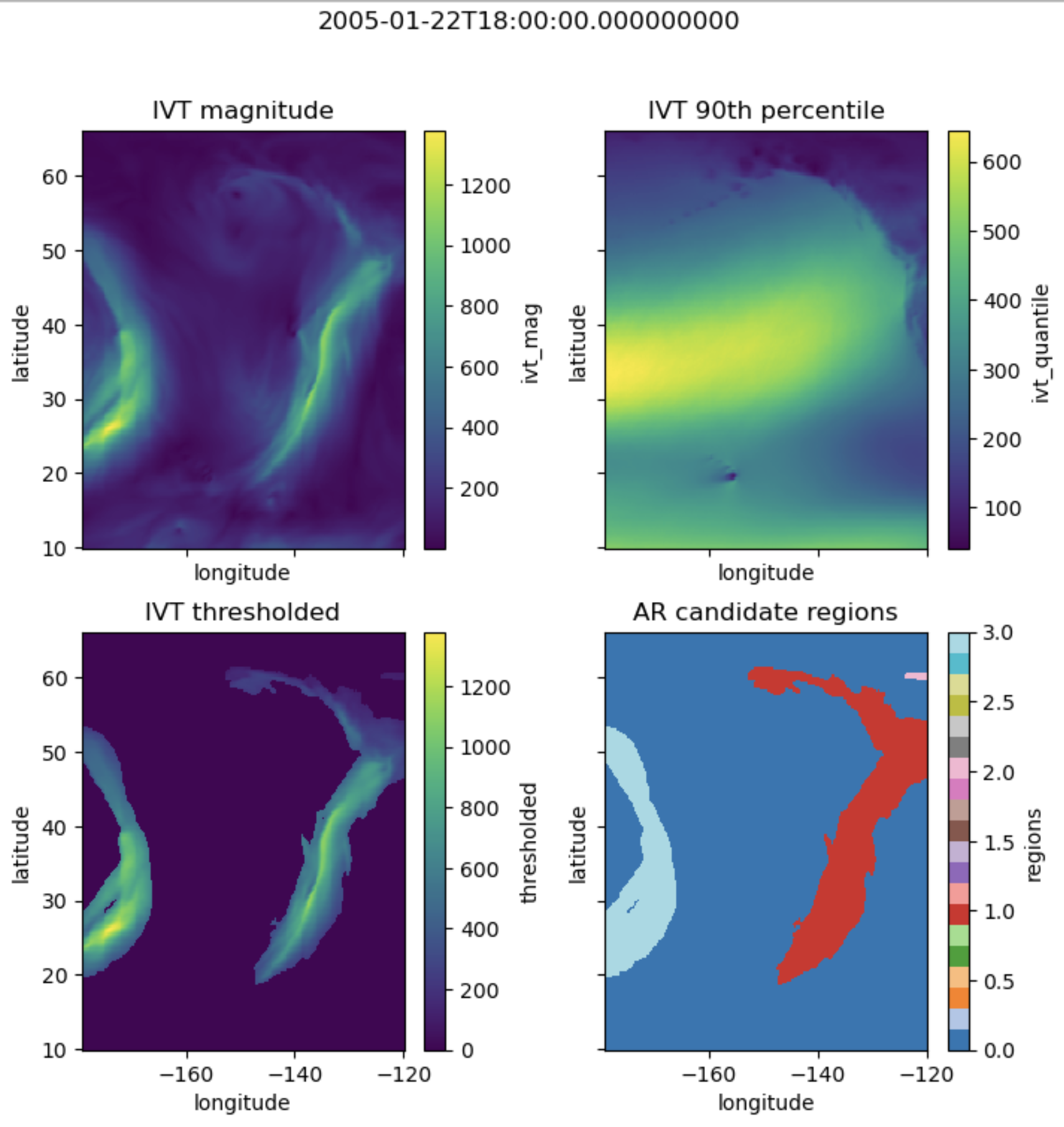
Atmospheric Rivers of Alaska Modeled from ERA5 (1980-2022)
Atmospheric rivers (ARs) were detected from ERA5 6hr pressure level data, using a detection algorithm adapted from Guan & Waliser (2015). The algorithm uses a combination of vertically integrated water vapor transport (IVT), geometric shape, and directional criteria to define ARs. See the sources listed below and the GitHub repository for more detail and other references.
The AR database is a zipped archive containing multiple attributed shapefiles. Polygon data includes individual timestep ARs, ARs making landfall in Alaska, and aggregated landfalling AR events. Point data includes coastal impact points landfalling AR events.
Simple
- Date (Publication)
- 2023-09-14
- Status
- Completed
- Maintenance and update frequency
- As needed
- Keywords
-
- Alaska
- ERA5
- modeled
- Keywords
-
- Atmospheric Rivers
- Spatial representation type
- Vector
- Metadata language
- English
- Character set
- UTF8
- Topic category
-
- Climatology, meteorology, atmosphere
- Begin date
- 1980-01-01
- End date
- 2022-12-31
))
- Reference system identifier
- WGS 1984
- OnLine resource
-
Guan, B., and Waliser, D. E. (2015). Detection of atmospheric rivers: Evaluation and application of an algorithm for global studies.
(
WWW:LINK-1.0-http--link
)
Publication.
- OnLine resource
- ERA5 Reanalysis Data ( WWW:LINK-1.0-http--link )
- OnLine resource
- Atmospheric Rivers and Avalanches GitHub Repository ( WWW:LINK-1.0-http--link )
- OnLine resource
-
Atmospheric Rivers of Alaska Modeled from ERA5 (1980-2022)
(
WWW:LINK-1.0-http--link
)
URL to web-accessible folder containing downloads for this data set
- Hierarchy level
- Dataset
- File identifier
- a0fa9f2c-cb92-477e-b508-b5b9f0d91c07 XML
- Metadata language
- English
- Character set
- UTF8
- Date stamp
- 2023-09-18T08:48:29
- Metadata standard name
- ISO 19115:2003/19139
- Metadata standard version
- 1.0
Overviews
Spatial extent
Provided by
