 SNAP GeoNetwork
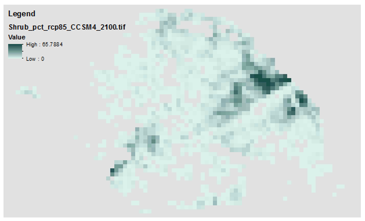
Historical and Future Projections of land cover distribution dynamics in the Tanana River Flats, Alaska from 1950 to 2100
These data contain historical and future projections of percent land cover from 1950 to 2100, as simulated by the Alaska Thermokarst Model for the boreal region. The data are 1km spatial resolution. The climate data used to drive the model simulations are from the Climate Research Unit, Time Series 4.0 (CRU_TS40) for the historical period (1950 to 2015), and from RCP 8.5 and global circulation models NCAR-CCSM4 and MRI-CGCM3 for the projected period (2016 to 2100).
Datasets from the years 1950, 2000, 2050, and 2100 are provided. Annual maps are available upon request.
Please note that this data is used to fill in a gap in available data for the Integrated Ecosystem Model (IEM) and does not constitute a complete or precise measurement of this variable in all locations.
If used for publication, these data should be cited as the following: Genet H., Lara M., McGuire A.D., Jorgenson T.M., Euskirchen E.S., Clein J., Carman T., Rutter R., Rupp S., Breen A., Kurkowski T., Bennett A., Torgenson B., Romanovski V., Marchenko S. 2018. Land cover dynamic in the Tanana Flats from 1950 to 2100 driven by thermokarst activity.
Simple
- Date (Creation)
- 2018-08-15
- Edition
- 1.0
- Purpose
- These maps provides an estimate of land cover dynamics as a result of permafrost degradation and thermokarst disturbance. It does not include post-fire vegetation dynamic.
- Credit
- Hélène Genet
- Status
- Completed
- Maintenance and update frequency
- As needed
- Theme
-
- vegetation
- permafrost
- Place
-
- Use constraints
- License
- Other constraints
- https://creativecommons.org/licenses/by/4.0/
- Spatial representation type
- Grid
- Distance
- 1 km
- Metadata language
- eng
- Character set
- UTF8
- Topic category
-
- Imagery base maps earth cover
- Begin date
- 1950-01-15
- End date
- 2100-12-15
))
- Supplemental Information
-
Land cover types:
Bar | Barren
Con | Coniferous forest
Dec | Deciduous Forest
Shrub | Shrubland
YB | Young bog
OB | Old bog
YF | Young fen
OF | Old fen
WTR | Open water
- Unique resource identifier
- EPSG:3338
- Number of dimensions
- 2
- Dimension name
- Row
- Dimension size
- 36
- Resolution
- 1 km
- Dimension name
- Column
- Dimension size
- 127
- Resolution
- 1 km
- Cell geometry
- Area
- Distribution format
-
-
geotiff
(
32 bit floating
)
-
geotiff
(
32 bit floating
)
- OnLine resource
-
Historical and Future Projections of land cover distribution dynamics in the Tanana River Flats, Alaska from 1950 to 2100
(
WWW:LINK-1.0-http--link
)
URL to web-accessible folder containing downloads for this data set.
- Hierarchy level
- Dataset
Absolute external positional accuracy
- File identifier
- a62511d0-55bb-4940-b302-d73e997b0899 XML
- Metadata language
- English
- Character set
- UTF8
- Date stamp
- 2022-08-18T10:16:39
- Metadata standard name
- ISO 19115:2003/19139
- Metadata standard version
- 1.0
Overviews
Spatial extent
Provided by
