 SNAP GeoNetwork
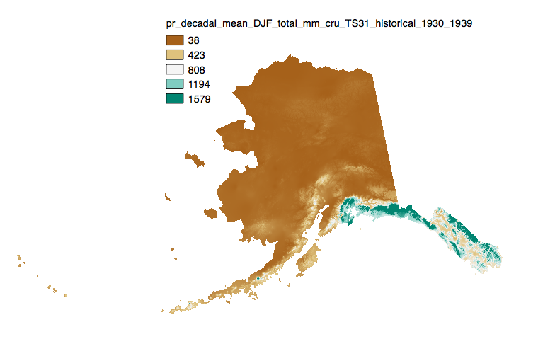
Historical Monthly and Derived Precipitation Products - 771m CRU TS
Simple
- Date (Publication)
- Credit
- Matthew Leonawicz
- Credit
- Michael Lindgren
- Credit
- Tom Kurkowski
- Credit
- Scott Rupp
- Credit
- John Walsh
- Status
- On going
- Maintenance and update frequency
- As needed
- Theme
-
- precipitation
- historical
- modeled
- Use constraints
- License
- Other constraints
- https://creativecommons.org/licenses/by/4.0/
- Spatial representation type
- Grid
- Distance
- 771 m
- Metadata language
- eng
- Character set
- UTF8
- Topic category
-
- Climatology, meteorology, atmosphere
- Begin date
- 1900-01-15
- End date
- 2009-12-15
))
- Supplemental Information
-
The downscaling process utilizes PRISM climatological datasets from 1961-1990.
Brief descriptions of the datasets:
Monthly precipitation totals: The total precipitation, in mm, for the month.
For Decadal outputs:
1. Decadal Average Total Monthly Precipitation: 10 year average of total monthly precipitation. Example: All January precipitation files for a decade are added together and divided by ten.
2. Decadal Average Seasonal Precipitation Totals: 10 year average of seasonal precipitation totals. Example: MAM seasonal totals for every year in a decade are added together and divided by ten.
3. Decadal Average Annual Precipitation Totals: 10 year average of annual cumulative precipitation.
For seasonal means, the four seasons are referred to by the first letter of 3 months making up that season:
JJA: summer (June, July, August)
SON: fall (September, October, November)
DJF: winter (December, January, February)
MAM: spring (March, April, May)
- Unique resource identifier
- EPSG:3338
- Number of dimensions
- 2
- Dimension name
- Row
- Dimension size
- 2557
- Resolution
- 771 m
- Dimension name
- Column
- Dimension size
- 4762
- Resolution
- 771 m
- Cell geometry
- Area
- Distribution format
-
-
GeoTIFF
(
1.0
)
-
GeoTIFF
(
1.0
)
- OnLine resource
-
URL to web-accessible folder containing downloads for this data set.
(
WWW:LINK-1.0-http--link
)
URL to web-accessible folder containing downloads for this data set.
- Hierarchy level
- Dataset
- Statement
- SNAP downscaled data products are value added products that build off of other datasets that have been accepted by the scientific community as some of the highest quality climate data available.
- File identifier
- badab6be-5a29-4fae-b9de-5eff6f48702e XML
- Metadata language
- English
- Character set
- UTF8
- Date stamp
- 2022-10-24T16:24:46
- Metadata standard name
- ISO 19115:2003/19139
- Metadata standard version
- 1.0
Overviews
Spatial extent
Provided by
