 SNAP GeoNetwork
2022
Type of resources
Topics
Keywords
Contact for the resource
Provided by
Years
Formats
Representation types
Update frequencies
status
Resolution
-
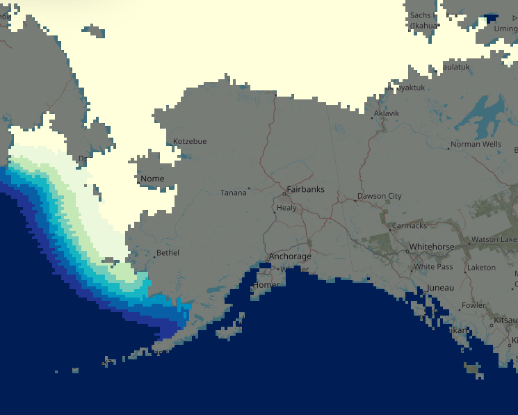
This data set includes weekly (January 1954 to December 2013) and monthly (January 1850 to December 2022) midpoint historical sea ice concentration (0 - 100%) estimates at 1/4 x 1/4 degree spatial resolution for the ocean region around the state of Alaska, USA. This value-added dataset was developed by compiling the below historical data sources into spatially and temporally standardized datasets. Gaps in temporal or spatial resolutions were filled in with spatial and temporal analog month approaches. This dataset is no longer being updated. The NSIDC provides a new version in netCDF format receiving ongoing updates: https://nsidc.org/data/nsidc-0051/versions/2.
-
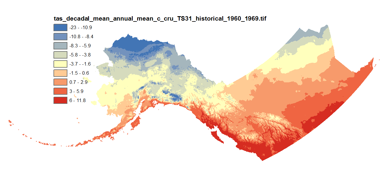
This dataset includes downscaled historical estimates of monthly average, minimum, and maximum temperature and derived annual, seasonal, and decadal means of monthly average temperature (in degrees Celsius, no unit conversion necessary) from 1901 to 2006 (CRU TS 3.0), 2009 (CRU TS 3.1), 2015 (CRU TS 4.0), 2020 (CRU TS 4.05), or 2023 (CRU TS 4.08) at 2km x 2km spatial resolution. CRU TS 4.0 is only available as monthly averages, minimum, and maximum files. CRU TS 4.05 and 4.08 are only available as monthly averages. The downscaling process utilizes PRISM climatological datasets from 1961-1990.