 SNAP GeoNetwork
wind
Type of resources
Topics
Keywords
Contact for the resource
Provided by
Formats
Representation types
Update frequencies
status
Resolution
-
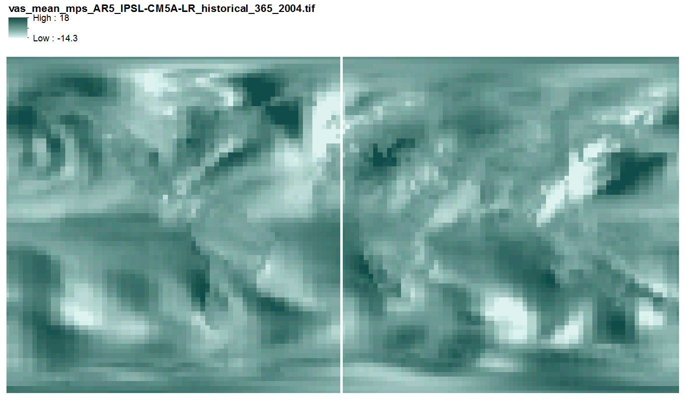
This data includes quantile-mapped historical and projected model runs of AR5 daily mean near surface wind velocity (m/s) for each day of every year from 1958 - 2100 at 2.5 x 2.5 degree spatial resolution across 3 AR5 models. They are 365 multi-band geotiff files, one file per year, each band representing one day of the year, with no leap years.
-
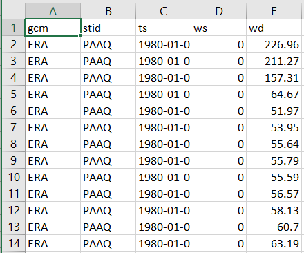
This dataset consists of observed and modeled wind data at an hourly temporal resolution for 67 communities in Alaska. Hourly ASOS/AWOS wind data (speed and direction) available via the Iowa Environmental Mesonet AK ASOS network were accessed and assessed for completeness, and 67 of those stations were determined to be sufficiently complete for climatological analysis. Those data were cleaned to produce regular hourly data, and adjusted via a combination of changepoint analysis and quantile mapping to correct for potential changes in sensor location and height. Historical (ERA-Interim reanalysis) and projected (GFDL-CM3 and NCAR-CCSM4) outputs from a dynamical downscaling effort were extracted at pixels intersecting the chosen communities and were bias-corrected using the cleaned station data. This bias-corrected historical and projected data along with cleaned station data make up the entirety of this dataset as a collection of CSV files, for each combination of community and origin (station or model name).